
都江堰景区

About Us

The story of Dujiangyan Scenic Area — the 2,280-year-old, dam-free irrigation system that turned the Chengdu Plain into the "Land of Abundance" — and of the independent guide that helps you visit it well.

Who we are

An Independent Guide to China's Greatest Water Works

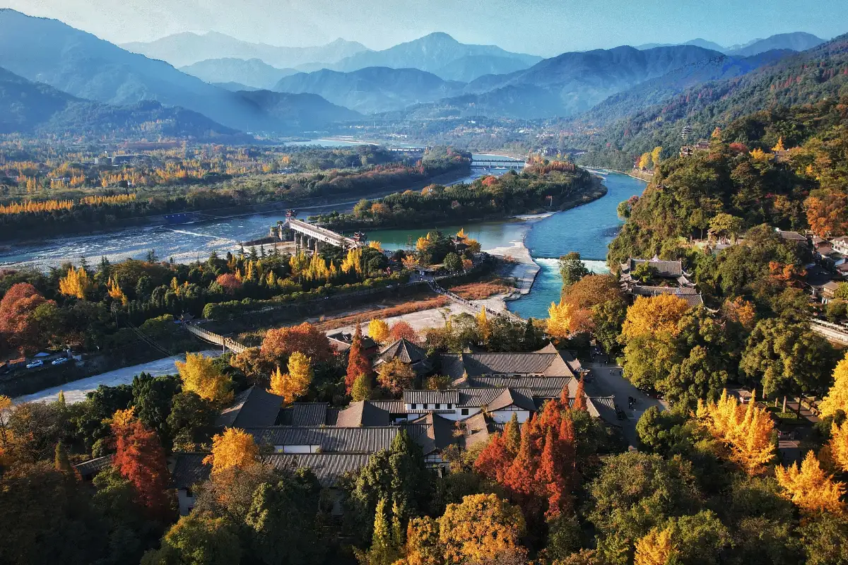
Dujiangyan Scenic Area (都江堰景区) wraps the world's oldest surviving dam-free irrigation system in a walkable riverside park at Park Road, Dujiangyan City, about an hour northwest of Chengdu. Around 256 BC the Qin governor Li Bing and his son read the Min River where it exits the Tibetan foothills and answered it with geometry rather than walls: a fish-shaped dividing embankment, a self-cleaning spillway and a channel cut through the mountain — three moves that have regulated the river ever since.

It is the rare ancient monument that never stopped working: the system still irrigates about 668,700 hectares of farmland, UNESCO inscribed it together with Mount Qingcheng as a World Heritage Site in 2000, and travelers rate it 4.7/5 on Trip.com from 57,958 reviews — with a spot in the 2026 Asia 100 – Best Things to Do. The formula is simple: standing over Fish Mouth and watching a 2,280-year-old idea still steer a whole river is something no museum can stage.

This website is written by a small editorial team of travelers who have walked the weir works in every season — misty winter mornings, crowded spring festival days, summer afternoons when the Flying Sand Weir churns — and who think a place this famous deserves honest, current, English-language planning information. Everything here is independent: we are not the operator, and that is exactly why the tips are useful.

668,700 haof Chengdu Plain farmland still irrigated by the ancient system — a UNESCO-verified figure

What the water works stand for

Four Pillars of Dujiangyan

Dujiangyan Scenic Area is more than a park — it is Chinese engineering philosophy told in four ideas.

Living Heritage Since 256 BC

Begun around 256 BC under the Qin state and refined through the Tang, Song, Yuan and Ming dynasties, the system is the oldest — and the only surviving — dam-free irrigation project of its kind, still discharging its function every single day.
No Dam, All Geometry

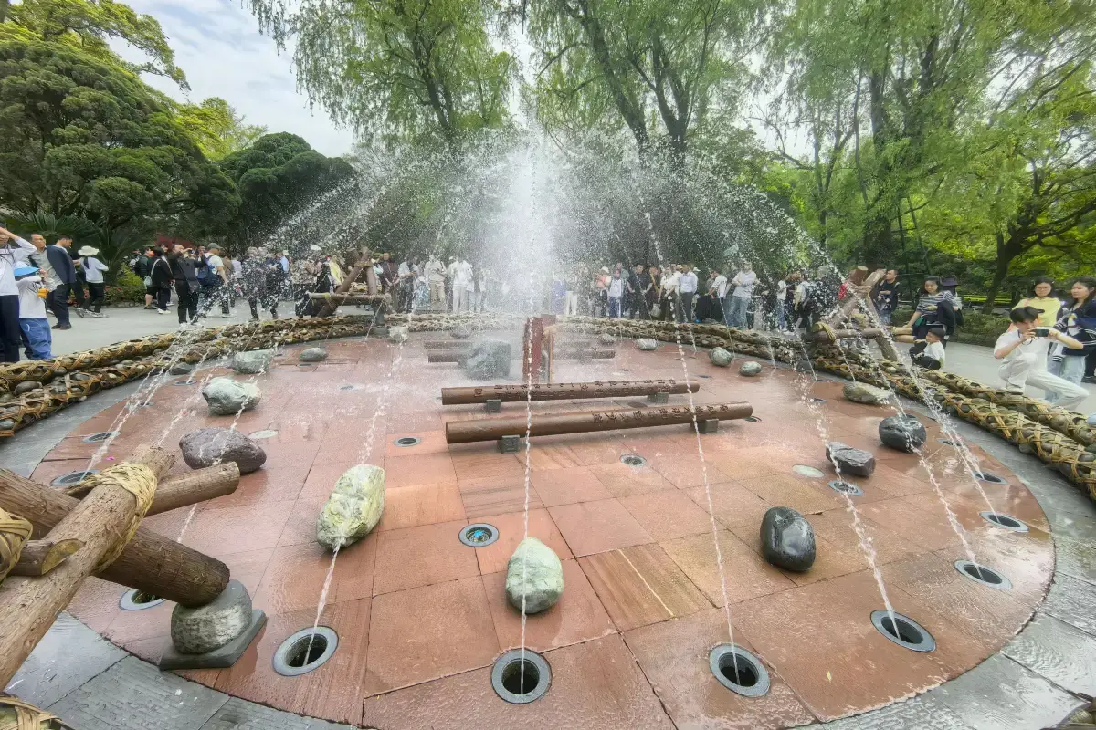
Yuzui divides the current, Feishayan spins away floodwater and silt, Baopingkou admits just what the plain needs. The river is guided, not blocked — the design principle UNESCO calls an "ecological engineering feat".

A Park for Everyone

Flat riverside paths, a short loop between the headline sights, in-park transport when legs get tired — Dujiangyan rewards families, casual walkers and engineering nerds in equal measure.

Twin of Mount Qingcheng

The 2000 UNESCO inscription pairs the water works with Mount Qingcheng, the birthplace of religious Taoism — water wisdom below, misty temple trails above, one World Heritage story.

Location

Park Road, Where the River Meets the Plain

The scenic area's main entrance stands on Park Road in Dujiangyan City — the compact, canal-laced county city that grew up around the works, about 60 kilometers northwest of downtown Chengdu. The Ancient Town gate, Nanqiao and the start of the walking loop are all within a few minutes of each other.

  • By intercity train — C-trains from Chengdu's Xipu Station (connected to Metro Lines 2/6) stop at Lidui Park Station, right by the entrance; the ride takes about half an hour.
  • By car or taxi — roughly 1–1.5 hours from downtown Chengdu via the Chengguan expressway, with parking at the gate.
  • Walkable from town — Guanxian Ancient Town, the food streets and Nanqiao are at the doorstep; many visitors stay in Dujiangyan City rather than commuting from Chengdu.
  • Mount Qingcheng next door — the Taoist mountain and its temples are 20–30 minutes away by bus or taxi, making the classic one-day World Heritage pairing.

The sights

What You Will See Inside the Park

Six headline sights — each a chapter in the story of how a river was taught to feed a plain.

1

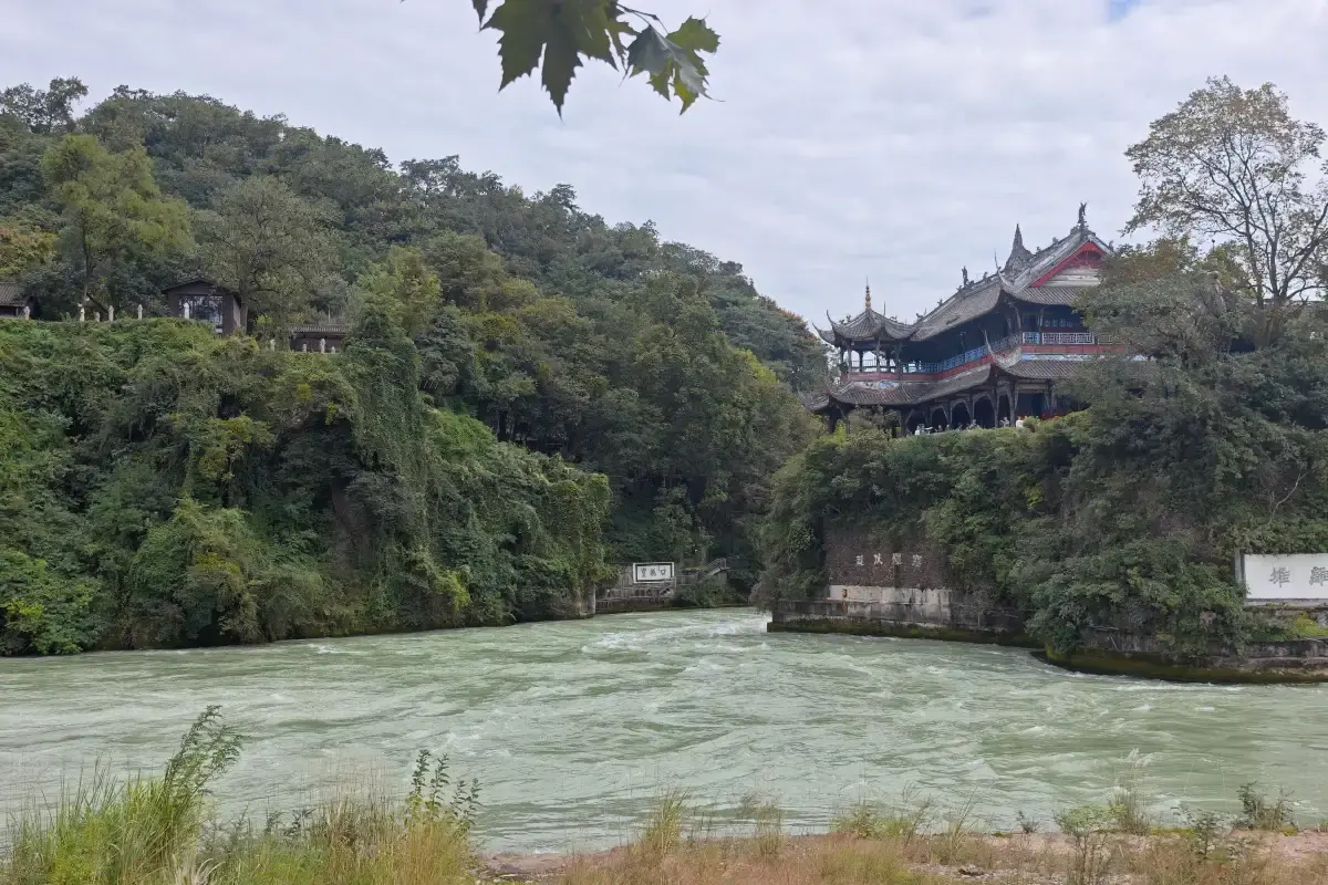
Yuzui — The Fish Mouth

The dividing embankment midstream: inner channel for irrigation, outer channel for floods, all decided by the river's own momentum.

2

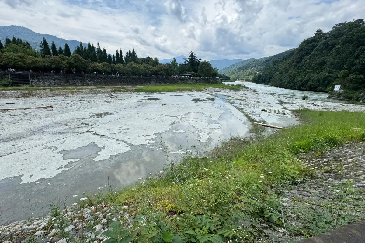
Feishayan — Flying Sand Weir

The self-cleaning spillway that returns excess water and silt to the outer river — the system's silent, brilliant regulator.

3

Baopingkou — The Bottle-Neck

The inlet cut through Mount Yulei, and Lidui — the isolated rock tower left standing when the channel went through.

4

The Anlan Suspension Bridge

Wooden planks and cable rails across the inner river — the swaying, photographic link between the two banks at Yuzui.

5

Erwang Temple

The Two Kings Temple on Mount Yulei's slope — incense, courtyards and rooftop views over the whole hydraulic drama below.

6

Guanxian Ancient Town

The old county town at the gate: teahouses, snack streets and the canal-side promenade that ends the visit on a full stomach.

The water works in numbers

Dujiangyan at a Glance

256 BCBegun by Li Bing — still working today
668,700Hectares of farmland irrigated now (UNESCO)
3Original works — Yuzui · Feishayan · Baopingkou
2000UNESCO World Heritage — with Mount Qingcheng
4.7/5Trip.com Rating · 57,958 reviews
$11.99Tickets From — Book Online

Our promise

An Honest, Visitor-First Guide

This website is an independent, English-language guide for international travelers planning to visit Dujiangyan Scenic Area. We are not the official operator: our job is to translate the scenic area's vast practical information into one clear, current and honest resource — what a ticket actually includes, how the walking loop works, which entrance to start from, and what real visitors wish they had known before arriving.

Every guide blends first-hand travel reporting with the operator's official announcements and hundreds of verified Trip.com traveler reviews, and each fact is re-checked before publishing. When details can change — seasonal hours, ticket windows, holiday schedules — we say so plainly and point you to the official hotlines rather than guessing. That honesty is the whole point: a site this popular rewards good planning.